Offshore-Wind
Springe direkt zu: Die Hauptnavigation | Inhaltsbereich | Suchfunktion
Sie sind hier: Homepage > Offshore Projects > Research plattforms > North Sea map
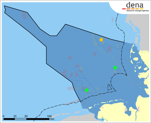
To get information on the status of the projects move your mouse pointer over the violet, green and red wind farms. Click on the wind farms for further information.
| Fino 3 | |
|---|---|
| Status | |
| approved | |
| Research platform Fino 1 | |
|---|---|
| Status | |
| in operation | |
| Messpfahl Amrumbank West | |
|---|---|
| Status | |
| in operation | |
The maps are based on the BSH maps ![]() showing the offshore windfarm pilot projects in the North Sea 1.1 MB
showing the offshore windfarm pilot projects in the North Sea 1.1 MB ![]() and the Baltic Sea 1.3 MB
and the Baltic Sea 1.3 MB ![]()
| Measuring platforms North Sea: | Borders: |
|---|---|